Where Adventure meets Enduro. Mountain Biking and Dirt Biking Tours.
Choose your own adventure!
We have tours available for every skill level. Choose the one that fits yourlifestyle.
E-Bike Mountain Bike Tour
Beginner to Advanced. Bring your Own Pedal Assist (E-Bike) Mountain Bike or Rent from our local partners. The electric “Pedal Assist” Mountain Bike is the most exciting technological advancement made in the last 25 years of the sport.
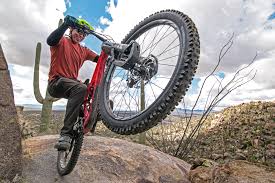
Advanced Mountain Bike Tours
Have you been riding Mountain Bikes and/or Dirt Bikes for years? Do you prefer taking the “A-Line,” Riding Gnarly Technical Features, or Pushing Yourself to the Next Level? If you answered yes to any of these questions, then this is the experience for you!
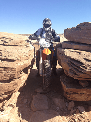
Enduro Single Track Tours
Our Enduro Motorcycle Tours are designed for Intermediate to Expert riders.
Meet our team
Chris Castle
OWNER, GUIDE
Chris loves anything on two wheels!
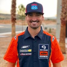
Skylar Howes
AWESOME DIRT BIKER
Troy Hadley
DIRT BIKING EXPERT
Jeff Kendell-Weed
FAMOUS MOUNTAIN BIKER
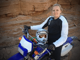
Jayme Castle
BEHIND THE SCENES SPECIALIST
You might not see Jayme very often, but things wouldn't be running as smoothly without her.